-
بررسی آییننامهها و دستورالعملهای برنامه هفتم پیشرفت
-
بررسی عوامل موثر بر افزایش تصادفات و تلفات جادهای و سوانح رانندگی و دادهکاوی تلفات انسانی
-
سازماندهی و بازآرایی فضایی آموزش عالی کشور
-
به روز رسانی سند ملی آمایش سرزمین
-
انجام مطالعات مناطق آزاد به عنوان نواحی پیشران اقتصادی کشور
-
اصلاح ساختار بودجه و پیاده سازی نظام یکپارچه مدیریت اطلاعات مالی دولت (IFMIS)
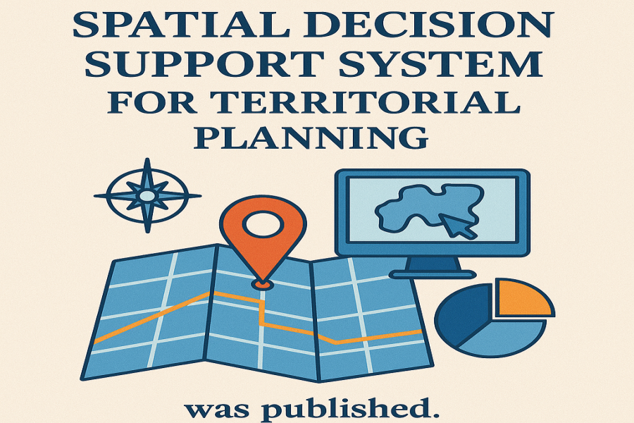
To establish a governance system for territorial development and to ensure the continuity and dynamism of territorial planning studies, periodic revisions, and monitoring of the implementation of the national and provincial territorial planning documents, the Plan and Budget Organization of the Islamic Republic of Iran (PBO) was tasked with developing and deploying a Spatial Development Monitoring and Evaluation System for Iran. In the initial phase, this system, named the Territorial Planning Support System [Samaneh Poshtiban Amayesh Sarzamin (SEPAS)], was pilot-designed and implemented in 1400 AH (2021-2022) by the CDRF. Among the key features of this system is its capability to respond to inquiries regarding the establishment of residential activities as well as new industrial and agricultural developments. These inquiries are conducted by matching and comparing selected locations with the outcomes and outputs of the national document. Currently, the comprehensive Territorial Planning Support System is being designed, developed, and finalized by the Department of Territorial Planning and Regional Development under the name Spatial Development Monitoring and Evaluation System.
This system will undertake critical functions including monitoring outcome and impact indicators, tracking spatial developments, responding to inquiries regarding the establishment of activities within the territory, and assisting in the updating of territorial planning studies. In accordance with the policies and strategies outlined in the document, and the quantitative indicators defined for each, the extent of change for each indicator is monitored and tracked through the management dashboard of the system.
While presenting the general framework, theoretical foundations, and experiences in the field of implementing spatial decision support systems, this report proceeds to describe the actions taken to establish the territorial planning database and presents the conceptual model and integrated architecture of the system.
It is noteworthy that this research report was prepared and compiled by the Land Use Planning, Development, and Regional Balance Research Group of the CDRF, authored by Abolhassan Modarreszadeh and Mehrdad Kashef, and comprises 115 pages.
Those interested in reading the report may access and download the full research document through the following link.

